
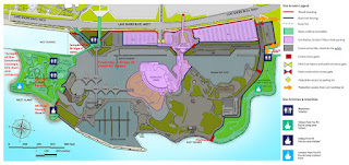
I annotated the map in red, to make it a little clearer, and also labelled Michael Hough Forest, Michael Hough Beach, Dock, Flatrock (alternate swim spot when Michael Hough Beach becomes harder to access).
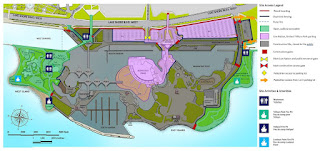
Here's the original map 151169 bytes that was embedded in a 7553156 byte PDF. Bloatware that expanded the file to more than 43.9 times its necessary size.